The Terrain tab contains the Terrain Definition panel, where you set the physical size of the terrain used by the build. These values define the real-world scale of the terrain and influence measurements, simulations, and export expectations across the project.
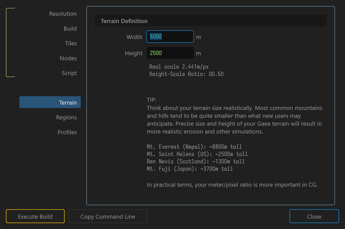
Terrain Definition
- Width: Sets the terrain width in meters.
- Height: Sets the maximum terrain height in meters.
- Real Scale: Displays the current meters-per-pixel value for the terrain at the active build resolution.
- Height-Scale Ratio: Displays the relationship between terrain height and terrain width.
Why Terrain Definition matters
Terrain Definition is more than a display setting. It helps you:
- judge whether mountains, valleys, and erosion features are sized realistically;
- understand how much ground each pixel represents at the current build resolution; and
- keep exported terrains consistent when moving into other applications.
For a broader explanation of terrain scale, see Scale and Resolution and Dimensions and Scale.
 using AngryMonkey